Wilderness
Remskoen Road: why our road is named after an ox-wagon brake
The gravel road to the Map of Africa carries one of the oddest names on the Garden Route. It comes from a block of wood that once stood between an ox wagon and the bottom of the Kaaimans gorge.
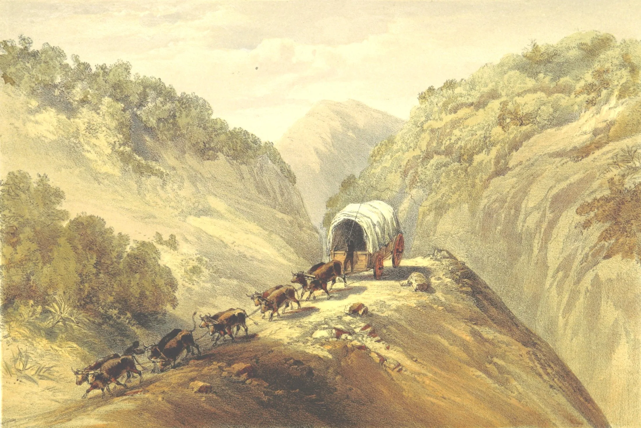
Ecoresort Wilderness is at 381 Remskoen Street, on the ridge above the gorge.
The short answer
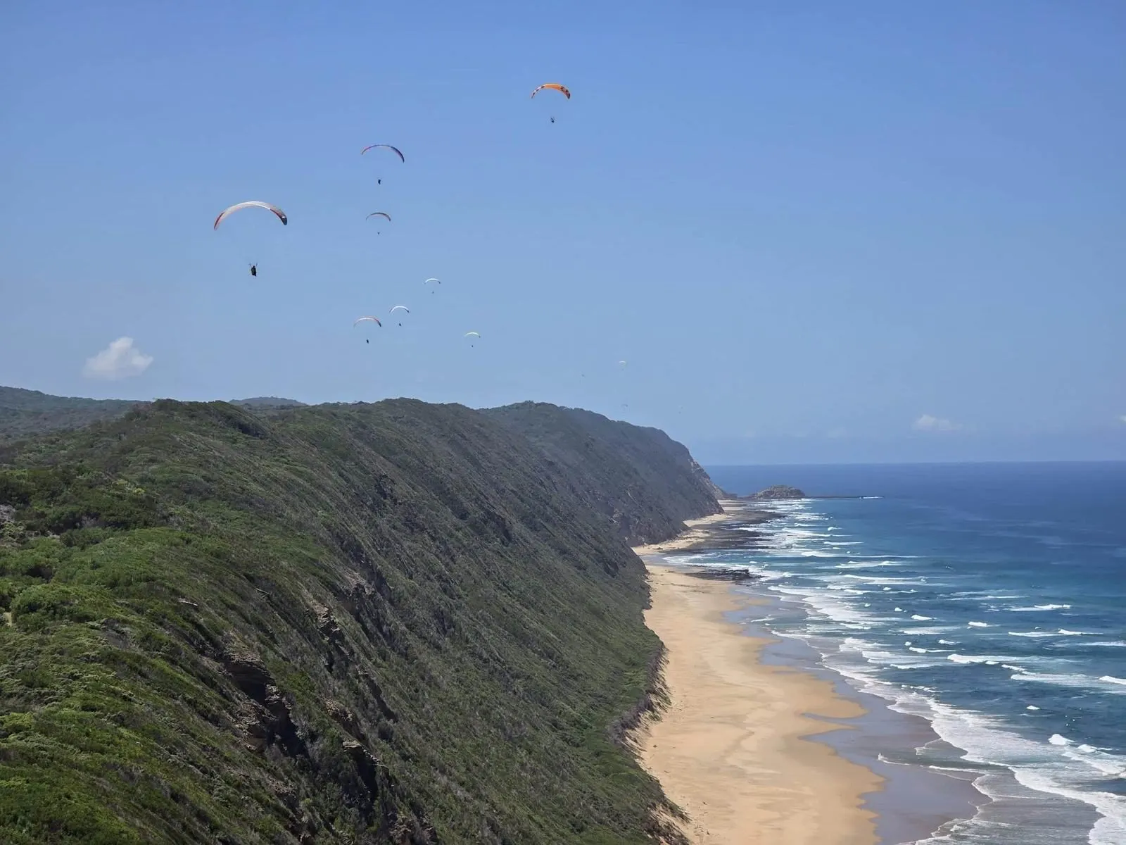
Remskoen Road (also signed Remskoen Street) is a gravel road of about 2.5 km in Wilderness Heights on the Garden Route that leads to the Map of Africa viewpoint and paragliding launch. "Remskoen" is Afrikaans for "brake shoe": a heavy block of wood, later of iron, that was chained under the rear wheel of an ox wagon so that the locked wheel slid like a sledge down steep slopes. The country below the ridge was notorious for exactly that: the Kaaimans River gorge, which 18th- and 19th-century travellers crossed with locked wheels until Thomas Bain's Seven Passes Road reached the river in 1869.
- Remskoen
- Afrikaans for "brake shoe" (rem = brake, skoen = shoe)
- What it was
- A wooden or iron skid chained under a wagon's rear wheel
- The road
- About 2.5 km of gravel to the Map of Africa
- Nearby history
- Wagon ruts in the rock at the Kaaimans River
- Old road
- Seven Passes Road, built from 1867, finished 1883
In this guide
Every guest who books with us types the same strange word into their navigation: Remskoen. Most assume it is a family name. It is not. It is a brake.
The road up to our gate, and on to the Map of Africa viewpoint next door, is named after a piece of equipment that every ox-wagon driver in the Cape once carried, and that the country below our ridge made very necessary.
What is a remskoen?
Rem means brake and skoen means shoe. In the old Cape Dutch, and later Afrikaans, a remskoen was the brake shoe of an ox wagon.
Early Cape wagons had no brakes as we know them. What they had was a block of hard wood, roughly 20 centimetres square and close to 60 centimetres long, with a groove cut into it for the rim of the wheel. The naturalist William Burchell described exactly that in 1822, down to the loop of twisted rawhide at the front. Later versions were made of iron, often welded together by a blacksmith from old wheel rims.
The shoe hung from a chain just behind the front axle. On a normal day it was hooked up out of the way. At the top of a steep slope the wagon stopped, the shoe was dropped and the rear wheel was pulled into it, and a second chain through the spokes locked the wheel in place. From there the wagon no longer rolled. It slid, on its brake shoe, like a sledge, and the oxen in front only had to keep it straight.
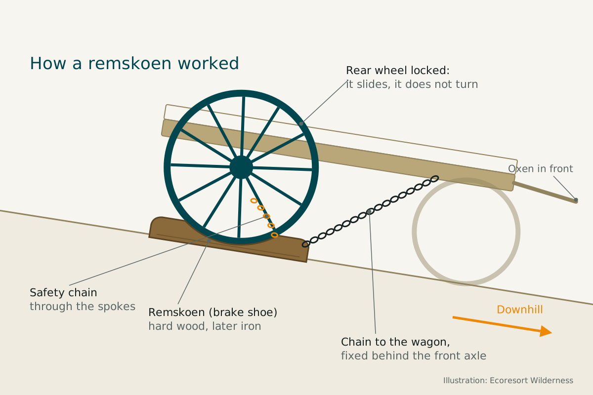
On very steep ground even that was not enough. Accounts describe travellers locking more wheels, strapping a large branched tree under the wagon as a drag, and every spare hand hanging on to leather ropes.
The road-wrecker
A remskoen grinding down a gravel road for hundreds of metres does to a road what you would expect. Road authorities in the Cape Colony disliked them so much that toll rules in the 1860s and 1870s charged extra for wagons without a proper brake or a brake shoe at least eight inches wide, and a history of Cape social life from 1927 calls the remskoen "a great destroyer of the roads".
The word outlived the wagons. In South African English and Afrikaans a remskoen is still someone who holds back progress, and in early Cape politics a "remskoen party" was no compliment.
The gorge below the ridge
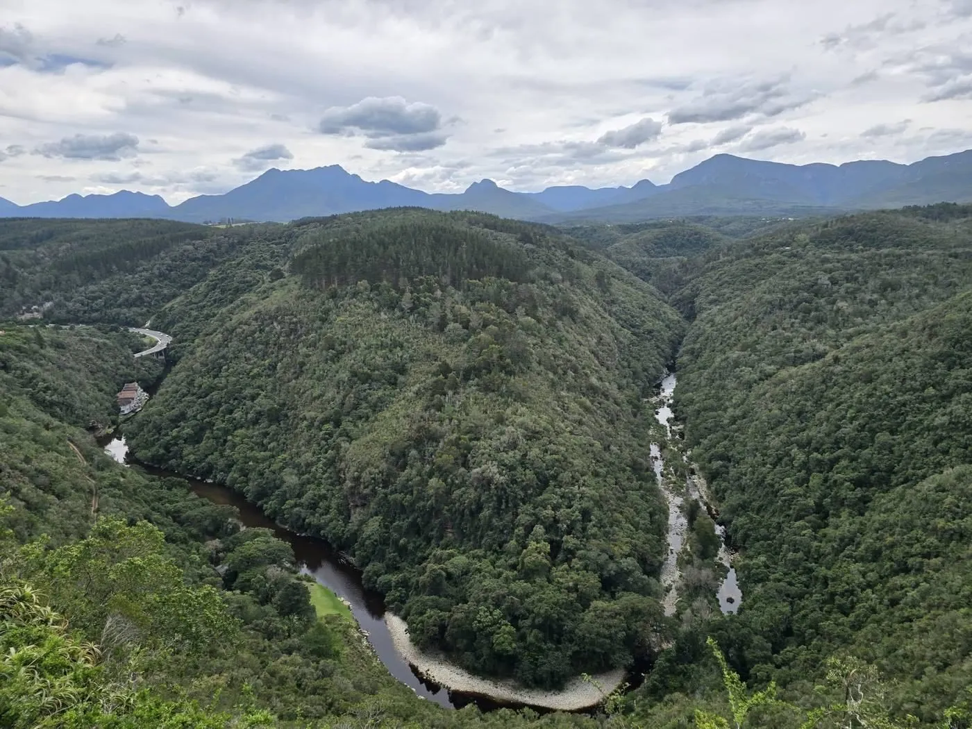
You do not have to imagine why a road up here would carry this name. Look down from the Map of Africa into the Kaaimans River gorge.
For a long time this gorge was the worst obstacle on the coastal route between George and Knysna. In 1752 an expedition noted that local farmers called the place Keerom, "turn back", because wagons could not get through. Travellers who tried anyway called it a wagon breaker. The German traveller Hinrich Lichtenstein described the crossing in 1803: wheels locked for the descent, loads partly unpacked and carried by hand, and one wagon at a time hauled up the far side by a team of 28 oxen. Half a century later, in 1854, the Swedish naturalist Johan Victorin found much the same scene, wheels locked again and the riverbed strewn with boulders. When the river was in flood, wagons waited for days or weeks to cross.
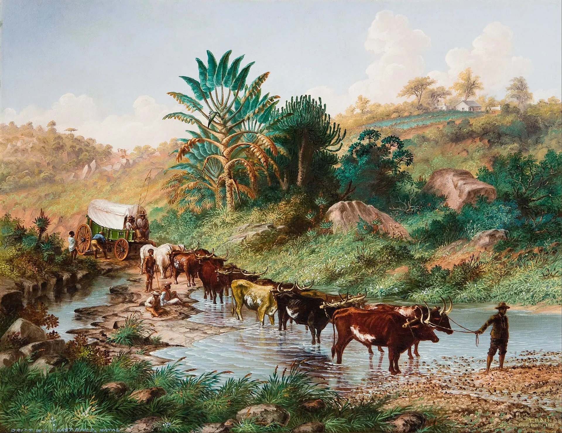
The proof is still in the rock. On the eastern side of the gorge, our side, ruts worn into the solid stone by wagon wheels can still be seen.
Thomas Bain, woodcutters and a gravel road
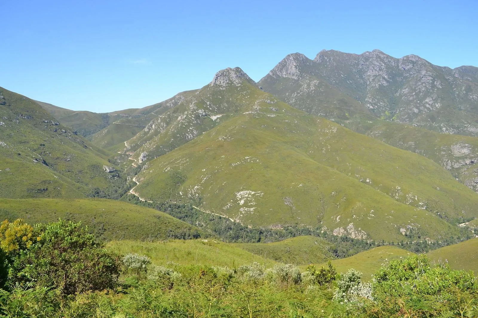
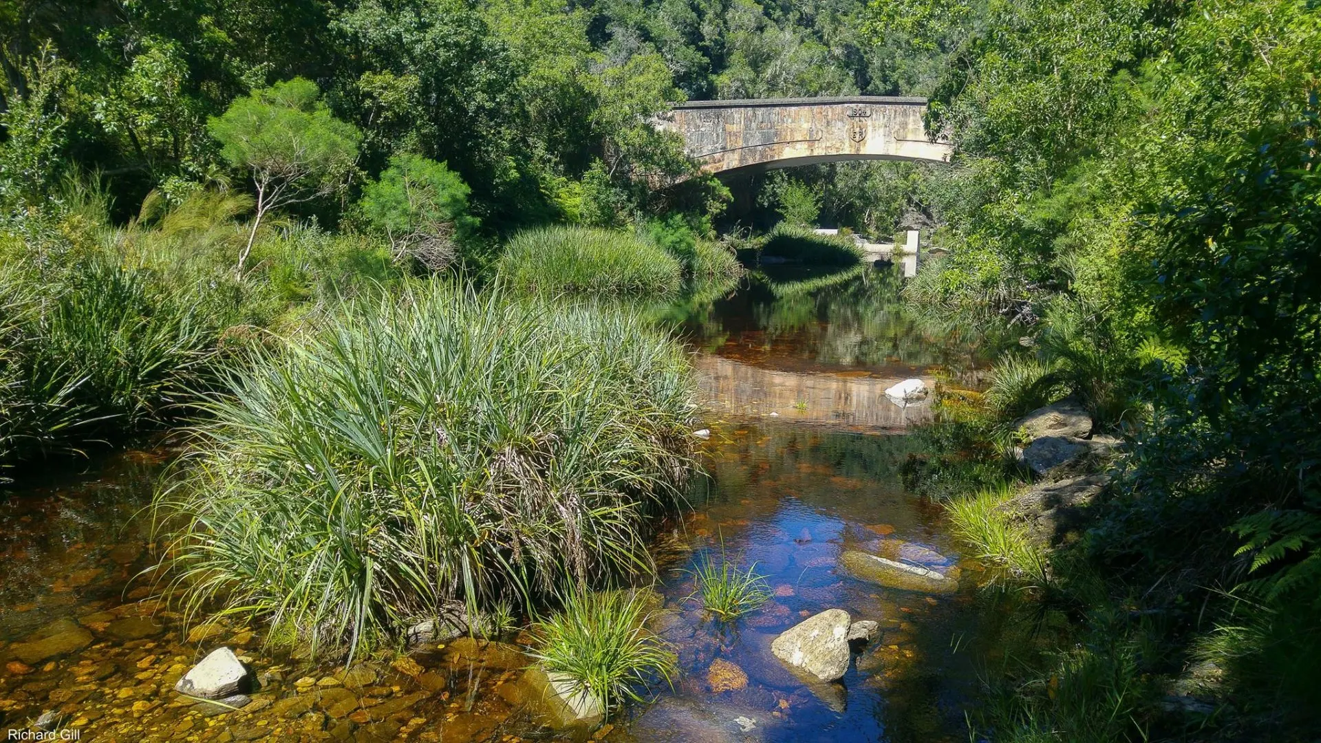
Relief came with the road engineer Thomas Bain and his brother-in-law Adam de Smidt. Their road from George to Knysna, today the Seven Passes Road, was started in 1867, reached the Kaaimans River in 1869 and was finished in 1883. It still begins at the bottom of our gorge, and our guide to the Garden Route's mountain passes tells you how to drive it.
The ridge itself belonged to woodcutters. At the end of the 19th century the families around Hoekwil and the lakes lived from the indigenous forest. Ironwood went by wagon to George and on to the mines of the Witwatersrand, and black stinkwood was used for the planks of the wagons themselves. When the forests ran thin, the Union government decided in 1913 to hand the neighbouring farm Olifantshoek, today's Hoekwil, to the Dutch Reformed Church in George as a settlement for the poorest families. It came into effect in 1915.
What we have not found is the moment the road got its name. No document we have seen says who first called it Remskoen, or when. If you know, or your grandparents did, we would love to hear from you.
Remskoen Road today
Today Remskoen Road is about two and a half kilometres of gravel leading to the Map of Africa. It is quiet for most of the day, busy with paragliders on good flying afternoons, and now and then in the George Herald when residents ask the municipality to grade it. The paper's 2023 headline could not resist: "Remskoen puts brakes on residents".
When the Wilderness Heritage Trail was laid out in 1993, its loop came up this hill past the Map of Africa. The planners even proposed a statue of an ox in honour of the wagon teams. It was never built.
So if you drive up to us, take it slowly. You are on a brake road, above a gorge that broke wagons, in a landscape that people once crossed at the speed of an ox.
Visiting
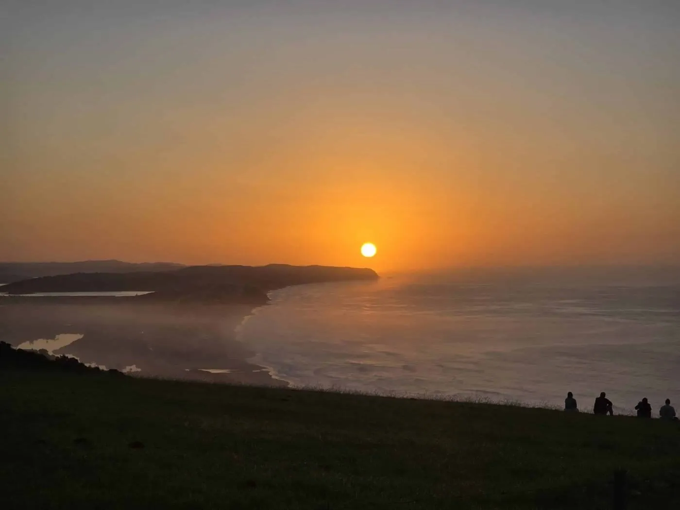
- Drive Remskoen Road to the Map of Africa viewpoint, best at sunrise
- Look down into the gorge and picture a 28-ox team hauling one wagon at a time up the slope
- Walk down to the Kaaimans River railway bridge, a heritage site since 2021
- Drive the first passes of the Seven Passes Road from the Kaaimans River towards Hoekwil
Frequently asked questions
What does Remskoen mean?
Remskoen is Afrikaans (from the older Dutch remschoen) for "brake shoe". It was a block of hard wood or a pan of iron that was chained under the rear wheel of an ox wagon on steep descents, so the locked wheel slid instead of turning.
Where is Remskoen Road?
In Wilderness Heights, on the ridge west of Wilderness village on the Garden Route. It is a gravel road of about 2.5 km that leads to the Map of Africa viewpoint and the paragliding launch.
Why is the road called Remskoen?
Nobody seems to have written down who named it. The name fits the landscape it runs along, though. The descent into the Kaaimans River gorge below the ridge was one of the most feared wagon crossings on the old route between George and Knysna, and travellers describe locking their wheels to get down.
Can you still see traces of the old wagon route?
Yes. On the eastern side of the Kaaimans gorge, ruts cut into the solid rock by wagon wheels can still be seen. Ask locally for directions; parts of the area are private land.
Is Remskoen Road suitable for normal cars?
Yes, in dry weather. It is gravel, so drive slowly, especially after rain when the surface can be rutted.
We live here, visit these places ourselves and update this guide from time to time. Something changed? Tell us.